Surveying
Experienced and diverse personnel
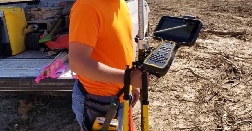
Smith & Co. Engineers provides the proper survey equipment and experienced personnel necessary for the most demanding project. Our commitment to quality and client satisfaction is well known.
Our Focus
Our Surveying Services
Smith & Co. Engineers has demonstrated expertise in land surveying covering the needs of clients for more than 50 years. Our crews can handle the broad range of tasks necessary to achieve success.
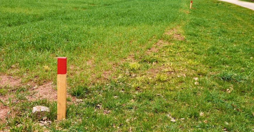
Boundary Surveys
A Property Boundary Survey is any survey that creates, defines, marks, remarks, retraces, or reestablishes the boundaries of parcels of real property or the subdivision of lands.
- Residential Lot & Block
- New Parcels/Tract Splits
- Farm and Ranch Surveys
- Retracements of the US Public Land Survey System
- Commercial Developments
- Subdivisions

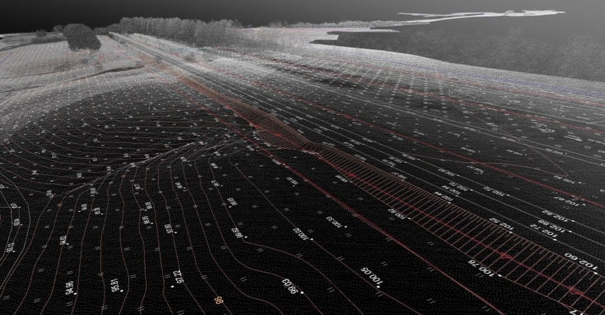
Topographic Surveys
Topographic Surveys locate natural and manmade features as well as utilities on a parcel of land. This information is useful for new construction, remodeling projects, road or bridge construction, and most grading projects.
- Commercial Developments
- Site Planning
- Drainage Improvements
- Grading Plans

ALTA Surveys
ALTA surveys are a specialized Boundary Survey that adheres to standards of the American Land Title Associa-tion (ALTA) and the National Society of Professional Surveyors (NSPS). This survey makes note of any ease-ments or public right-of-way or any other additions or deletions from the property throughout the course of the parcel’s history. It is primarily used in commercial real estate transactions.
- Commercial real estate
- Lending Institutions
- Plats
- Law Firms
- Title Companies
Route Surveys
In the land surveying world, a route survey is used to locate the path of a project such as a highway, railroad, power line, or pipeline as it crosses property boundaries. The survey provides the location of right-of-way lines, a centerline, or reference lines in relation to property lines, and the terrain.
- Streets, Highways, and Railroads
- Transmission lines for power, fuel or communication
- Major drainage ditches
- Easements
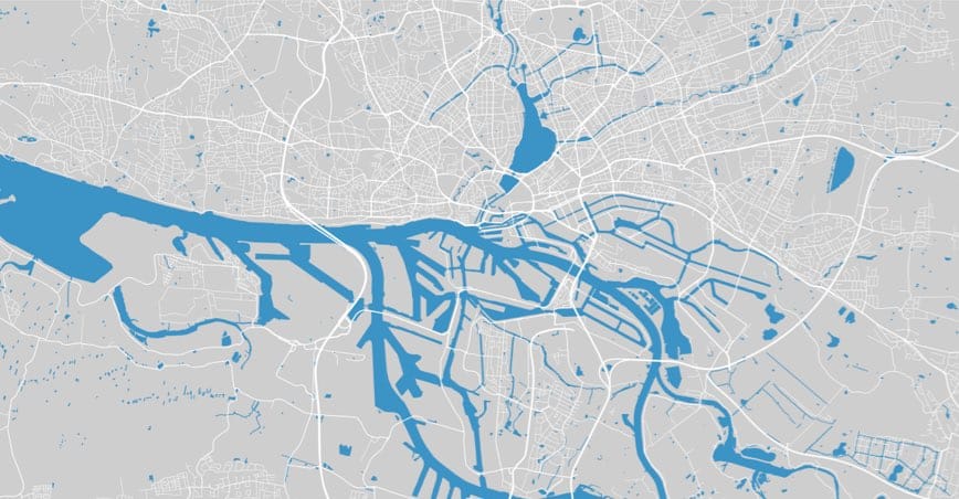
FEMA Elevation Surveys
A Elevation Certificate is needed to comply with the National Flood Insurance Program. The program requires the elevation of the lowest floor of all new and substantially improved buildings and maintaining a record of the information. The Base Flood Elevation is also reported.
Construction Staking
Construction staking takes planned improvements from paper to the construction site. This allows construction work to be performed according to the project design. Staking reference points and lines can assist in identifying potential problems before concrete or steel is in place.
- Building construction
- Highways, Railroad, Drainage
- Floor Elevations
Boundary Surveys
A Property Boundary Survey is any survey that creates, defines, marks, remarks, retraces, or reestablishes the boundaries of parcels of real property or the subdivision of lands.
- Residential Lot & Block
- New Parcels/Tract Splits
- Farm and Ranch Surveys
- Retracements of the US Public Land Survey System
- Commercial Developments
- Subdivisions
Topographic Surveys
Topographic Surveys locate natural and manmade features as well as utilities on a parcel of land. This information is useful for new construction, remodeling projects, road or bridge construction, and most grading projects.
- Commercial Developments
- Site Planning
- Drainage Improvements
- Grading Plans
ALTA Surveys
ALTA surveys are a specialized Boundary Survey that adheres to standards of the American Land Title Associa-tion (ALTA) and the National Society of Professional Surveyors (NSPS). This survey makes note of any ease-ments or public right-of-way or any other additions or deletions from the property throughout the course of the parcel’s history. It is primarily used in commercial real estate transactions.
- Commercial real estate
- Lending Institutions
- Plats
- Law Firms
- Title Companies
Route Surveys
In the land surveying world, a route survey is used to locate the path of a project such as a highway, railroad, power line, or pipeline as it crosses property boundaries. The survey provides the location of right-of-way lines, a centerline, or reference lines in relation to property lines, and the terrain.
- Streets, Highways, and Railroads
- Transmission lines for power, fuel or communication
- Major drainage ditches
- Easements
FEMA Elevation Surveys
A Elevation Certificate is needed to comply with the National Flood Insurance Program. The program requires the elevation of the lowest floor of all new and substantially improved buildings and maintaining a record of the information. The Base Flood Elevation is also reported.
Construction Staking
Construction staking takes planned improvements from paper to the construction site. This allows construction work to be performed according to the project design. Staking reference points and lines can assist in identifying potential problems before concrete or steel is in place.
- Building construction
- Highways, Railroad, Drainage
- Floor Elevations